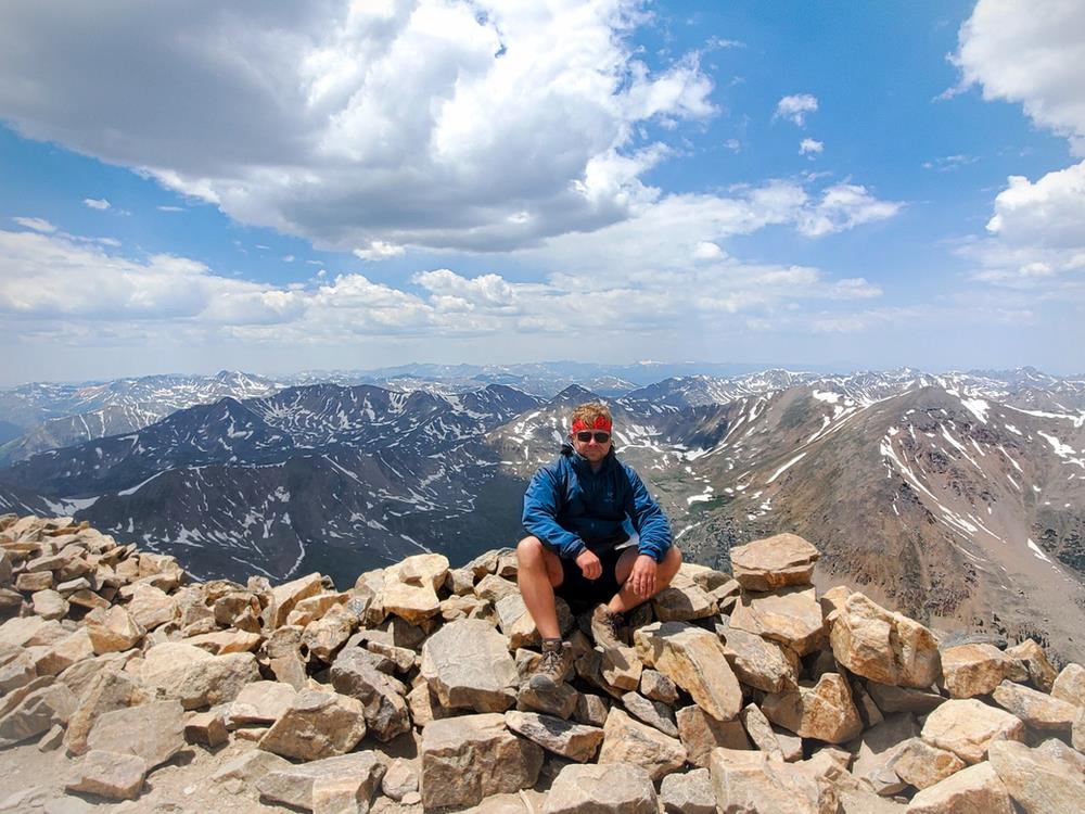
Summit the highest peak in the Rocky Mountains and second highest peak in the lower 48 on a demanding day hike in San Isabel National Forest. Enjoy beautiful forest scenery en route to the summit where an endless sea of peaks awaits from 14,433 feet.

Trailhead elevation 10,061'
Water Elbert Creek
Don't miss identifying the numerous 14,000-foot peaks from the summit
Hike Mount Elbert via North Mount Elbert Trail
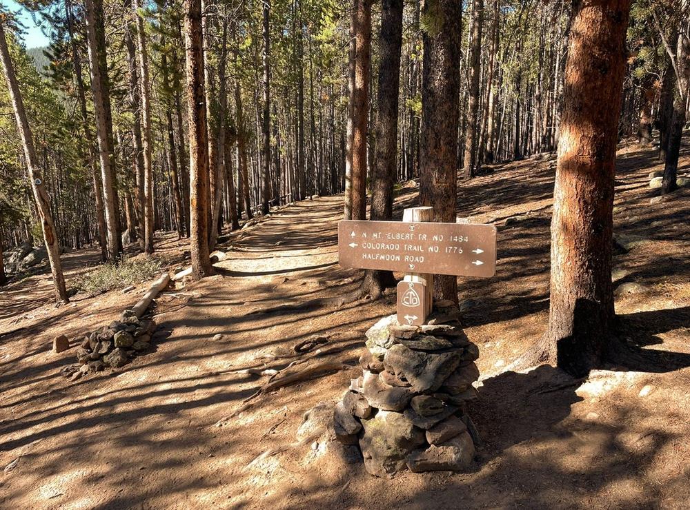
From the trailhead, the path initially winds its way up the mountain's northern slope, following the Continental Divide Trail/Colorado Trail. The first mile accumulates less than 600 feet in elevation gain while traversing a densely wooded area composed of Ponderosa pine, spruce, aspen, and fir trees. During this stretch, hikers will cross Elbert Creek, the route's lone water source.
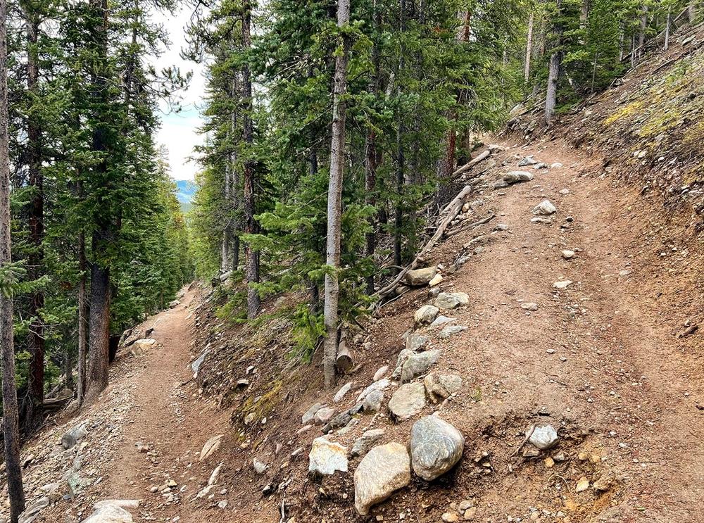
After navigating through several switchbacks, at approximately 1.2 miles into the hike, the Continental Divide Trail/Colorado Trail intersects with the North Mount Elbert Trail, which hikers will use to reach the summit. Over the next 1.8 miles, the trail continues to ascend steadily through a similar environment, offering limited glimpses of the surrounding landscape.
Around the 3-mile mark, the trail transitions into an alpine landscape steepen considerably. Over the next mile, the trail gains more than 1,300 feet in elevation, making it the most challenging segment of the hike. Along this section, hikers catch sight of the first of two false summits on the mountain, shrouded in cloud cover in the photo below.
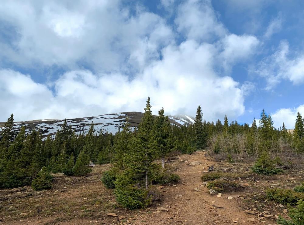
A short distance later, the trail breaks the tree line, giving way to a view of the route leading to the first false summit. From this point onward, hikers can expect the wind to pick up noticeably and the temperature to cool.
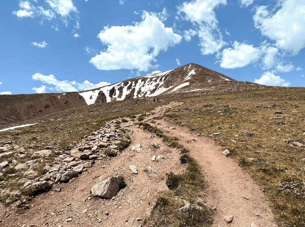
Over the course of the next mile, the trail gains a respectable 1,200 feet, offering views of Twin Lakes, the Mount Elbert Forebay Reservoir, and distant sights of the Collegiate and Buffalo Peaks to the southeast. To the northwest, views of Mount Massive, the second tallest peak in Colorado, along with numerous 13,000-foot peaks.
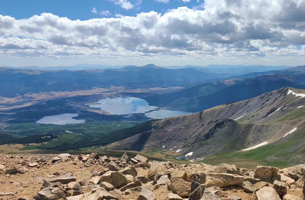
About half a mile after the trail breaks the tree line, it shifts from a firm dirt path to a trail littered with scree, often causing the pace of the hike to slow. From this point forward, hiking poles can prove very helpful. Once beyond the mountain's second false summit, the actual summit comes into view. After a final push, hikers arrive at the summit, greeted by panoramic 360-degree views from the highest peak in the Rocky Mountains.

From the summit, hikers are treated to views of numerous 14,000-foot peaks. To the south, Missouri Mountain (14,074'), La Plata Peak (14,360'), Redcloud Peak (14,041'), Uncompahgre Peak (14,309'), Mount Harvard (14,421'), Mount Bedford (14,204'), Mount Princeton (14,204'), Mount Yale (14,202'), Mount Oxford (14,160'), Mount Columbia (14,079'), Huron Peak (14,012), and others. To the north, Mount Massive stands prominently among several 13,000-foot peaks, towering at 14,429 feet. Those interested in snagging a cheesy photo with a "Mount Elbert 14,433" sign, will often find numerous signs wedged between rocks at the summit.
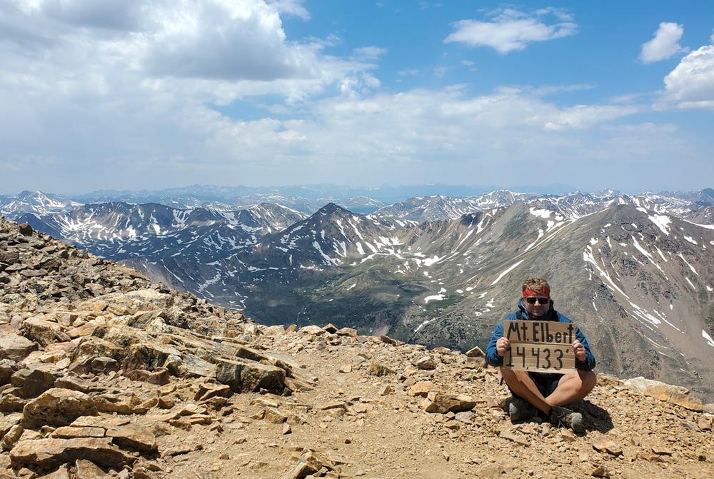
After soaking in the views, hikers simply follow their path back to the trailhead. Truth be told, the hike up Mount Elbert doesn't offer the most picturesque scenery for a 14er hike. However, given its status as the tallest peak in the Rocky Mountains, it remains a hike worth experiencing.
https://www.greatamericanhikes.com/post/hike-mount-elbert-the-tallest-peak-in-the-rocky-mountains
 CampingSurvivalistHuntingFishingExploringHikingPrivacy PolicyTerms And Conditions
