Presented by Garmin
This trip was a “double up” shoot in that we were going to feature both Smallmouth Bass as well as Striped Bass in two totally different locations.
This portion of the trip was based out of Nackawic, New Brunswick, located on the shores of the St John River. If you don’t know it, the St John is one of the most prolific Smallmouth Bass rivers in the entire country. It’s a rather large claim, however, you’ll have to trust us, it’s that good!
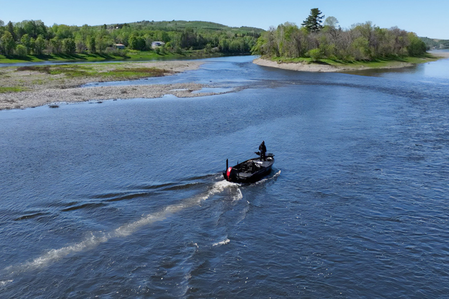
On this trip, we decided to travel into uncharted waters well upriver from Nackawic and even upriver of Woodstock. This truly was uncharted waters as our mapping on our Garmin units and even on our Navionics phone app, were completely blank of depths, contours etc. (the perfect scenario to Quickdraw our own maps).
We knew going into this trip that a 4+ lb Smallie would be an honorable catch. This area is known for numbers before size however, bigger and bigger Smallmouth are being caught every year.
With that in our heads, it worked out pretty much exactly as planned.
Probably four or five Smallmouth at around the 4 lb mark, and a ton of smaller fish. For an angler to catch 20-50 fish in a day here is absolutely nothing. You just need to show up. If you are serious and want to see just how many you can boat, we couldn’t even warrant a guess as to what that end tally would be. It is that good!
GARMIN MOMENTS OF THE NACKAWIC SHOOT
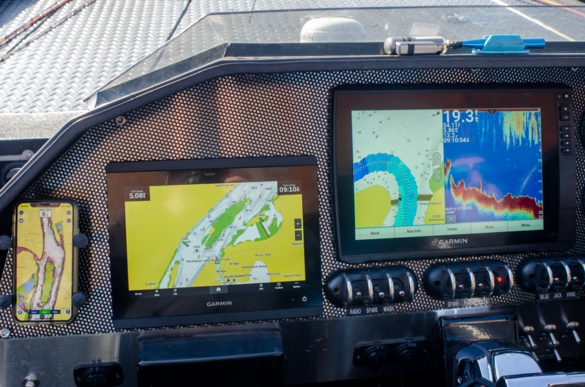
We ran 3 different units to keep us abreast of what’s out there. Uncharted waters can be a bit daunting!
Although our fishing chart screens were showing ample depths and contours, unfortunately, this was only the beginning of our trip upriver. There were miles to come of uncharted waters. That’s why we even had the Navionics app open on our phones. We wanted to cover everything.
As you can see in the above image with the EchoMap screen on the right, we started our Quickdraw recording right out of the gate (the tri-blue path heading up and then left). Once we hit the uncharted waters, we could at least create a path to safely navigate back to charted waters with a “Proceed With Caution” attitude.
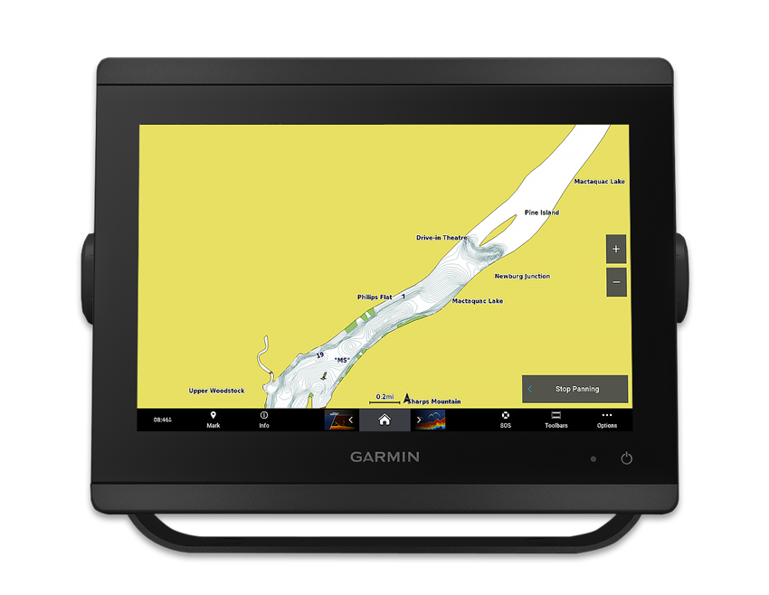
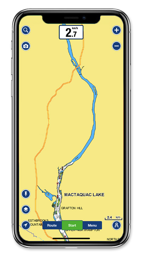
When you encounter a chart that looks like the above, we guarantee you’ll want to explore “no man’s land”… who wouldn’t??
Just make sure you run an active track to help guide you back safely or better yet, run the Quickdraw feature. If you come upon any dangerous shallow areas, mark them with a warning waypoint.
https://fishncanada.com/new-brunswick-smallmouth-explosion-garmin-fishing-with-electronics/
 CampingSurvivalistHuntingFishingExploringHikingPrivacy PolicyTerms And Conditions