
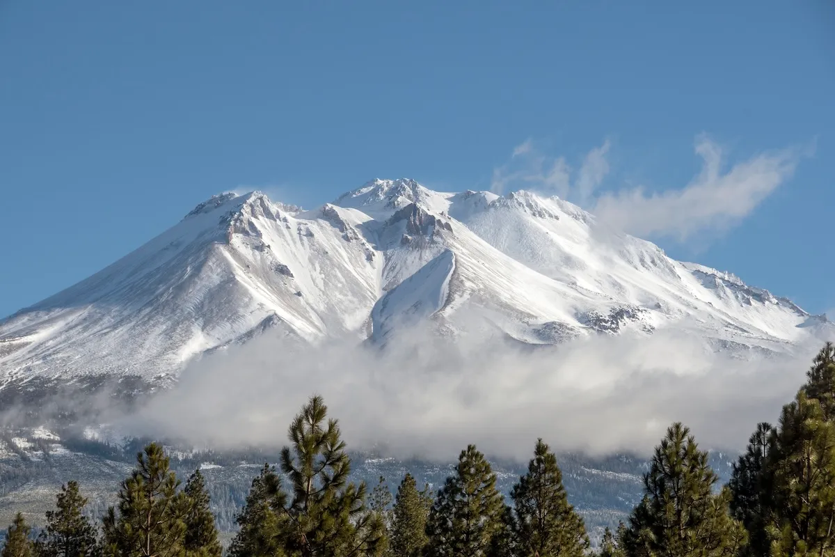
The Siskiyou County Sheriff’s Office detailed the rescue of three Mount Shasta hikers on September 1 who used an AI engine to help them plan their trek. Mount Shasta is a 14,179-foot peak in the Cascades of northern California that typically takes eight hours to ascend via the Clear Creek Route. Best practice is to summit Mount Shasta by 12 noon, which allows hikers enough time to descend before dark, but these men reached the summit at 7 PM.
[RELATED: Flooding at Bryce Canyon National Park Prompts Rescue of 11 Hikers]
“An hour into their descent, the party called the Siskiyou County Sheriff’s Office Dispatch to ask for directions, but eventually wandered off-route into the Mud Creek Canyon,” wrote the Siskiyou County Sheriff’s Office in a Facebook post sharing information and photos from the rescue. “Later that night, one member of the party fell and sustained a knee injury. The group became stranded in Mud Creek Canyon, and were forced to bivouac in the steep drainage until they were met the following morning by the USFS Climbing Rangers. [. . .] Fortunately, all three hikers and rescue teams returned to the trailhead without incident.”
After the ordeal was over, the hikers told a Sheriff’s Deputy that they had used Google’s Gemini AI to help them plan their route and pack for the hike. The Sheriff’s Office said as a result of this bad advice, the men did not bring enough food, water, or supplies.
See the full post about the hikers rescued from Mount Shasta after AI led them astray during the planning stage below.
Header stock image by NNehring/Getty Images
The post Hikers Rescued After Using AI to Prep for Mount Shasta Ascent appeared first on Outdoors with Bear Grylls.
https://outdoors.com/hikers-rescued-after-using-ai-to-prep-for-mount-shasta-ascent/